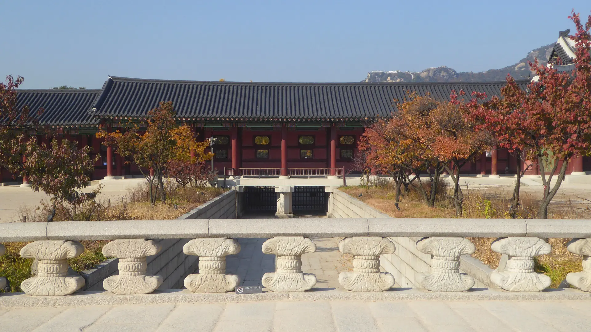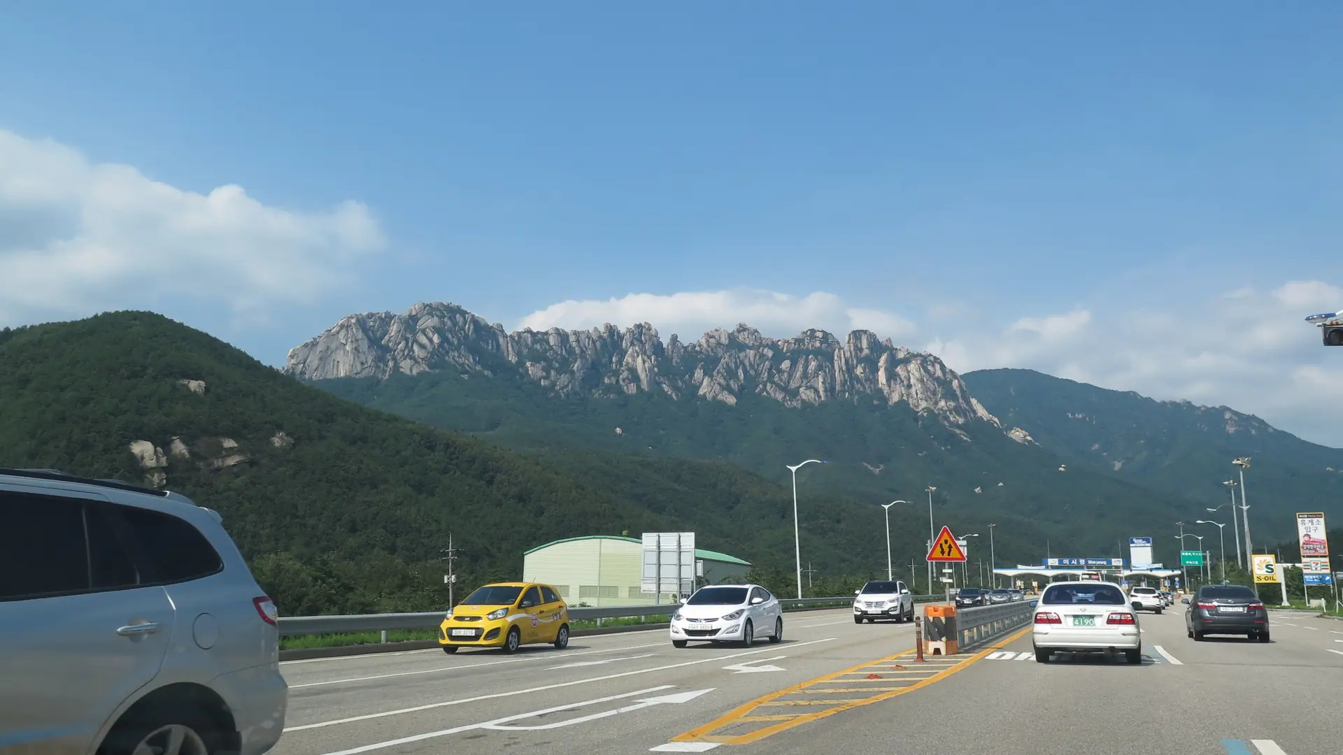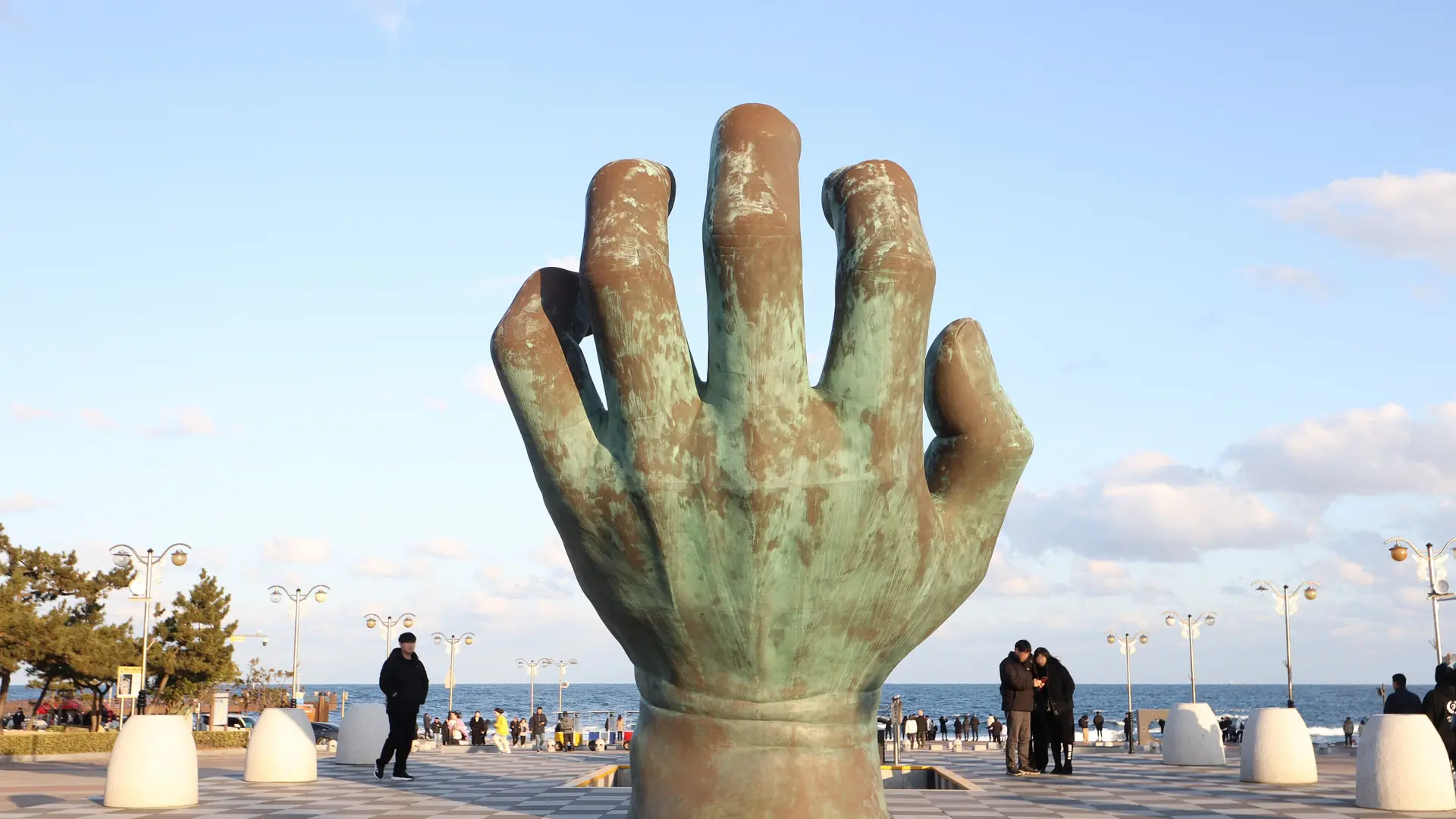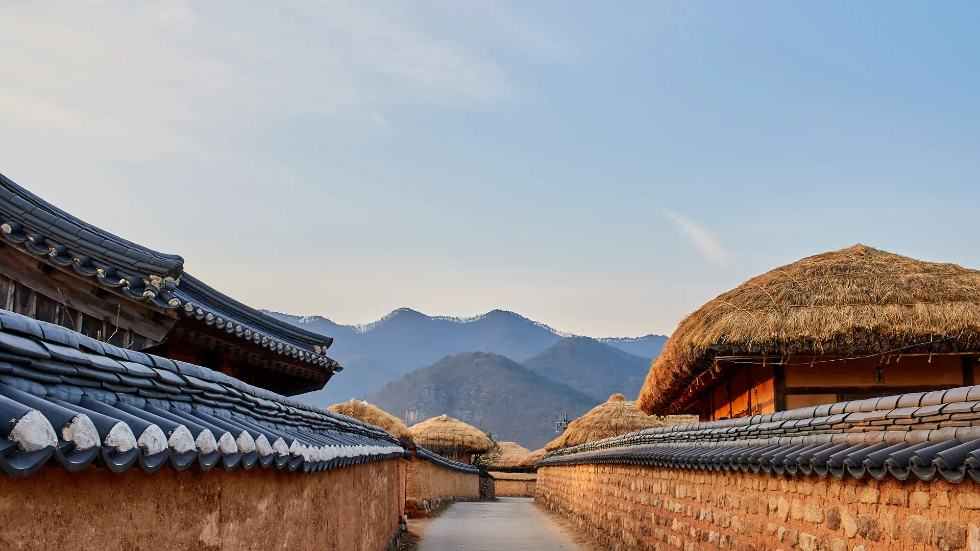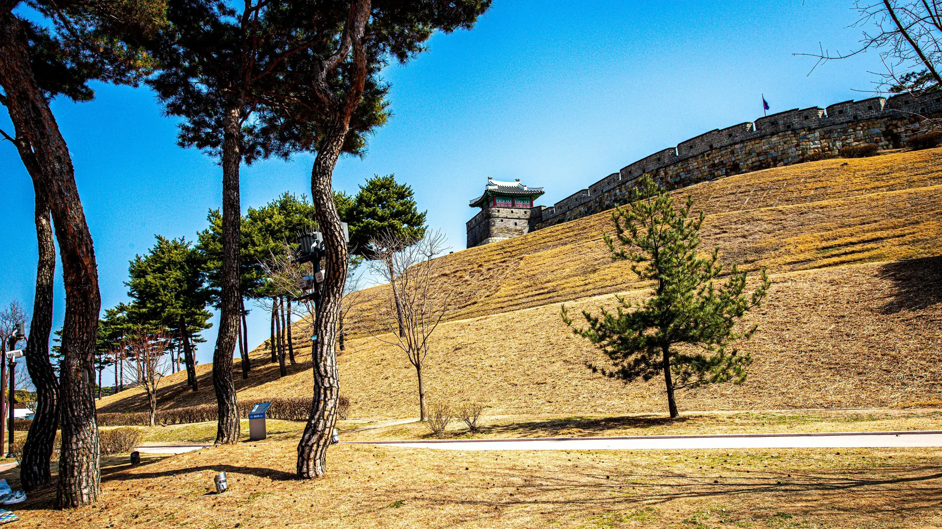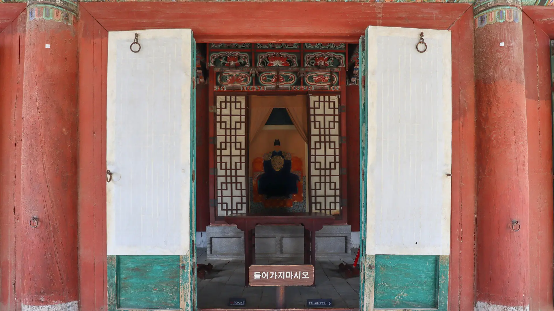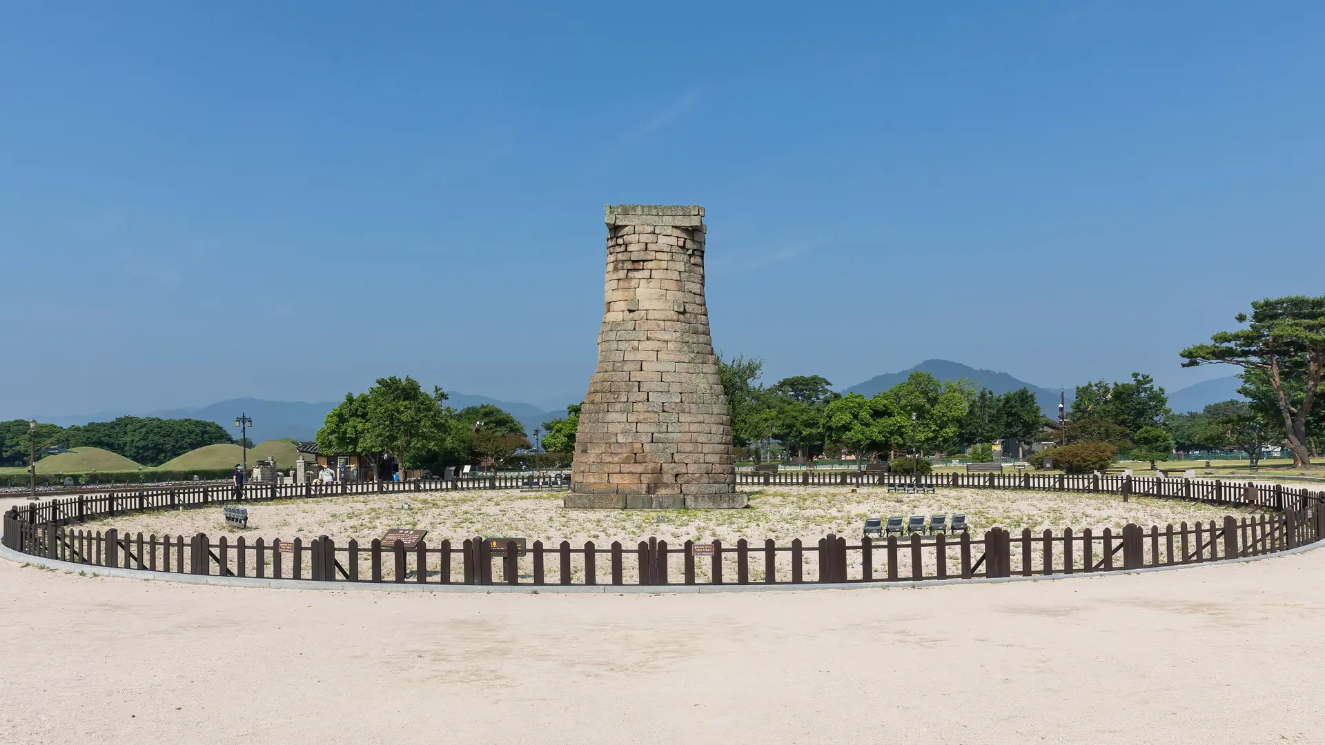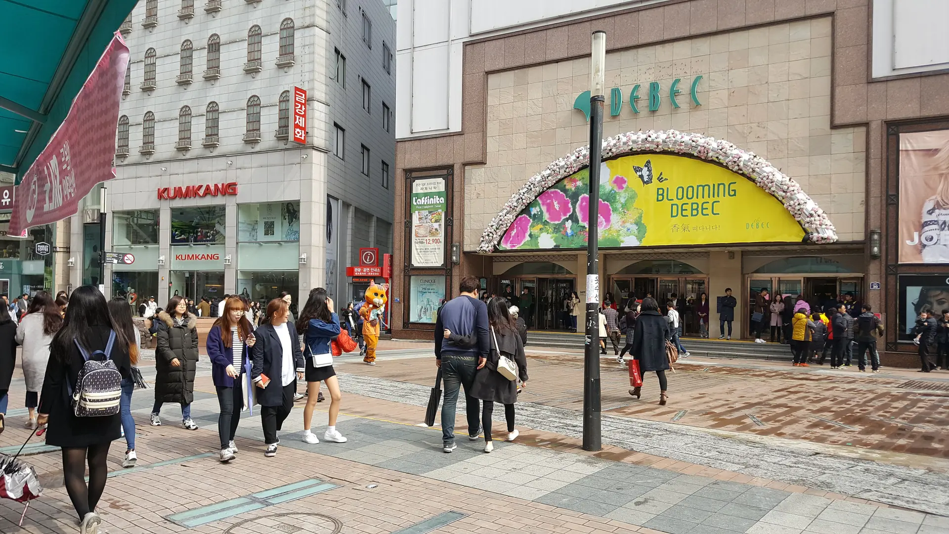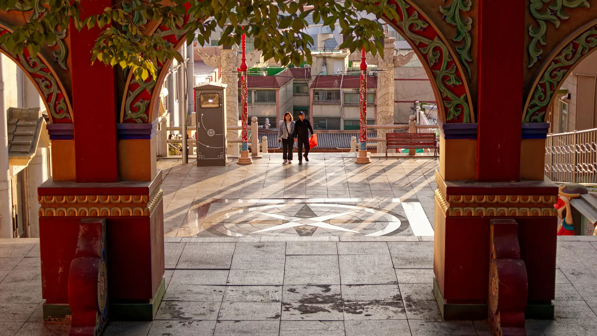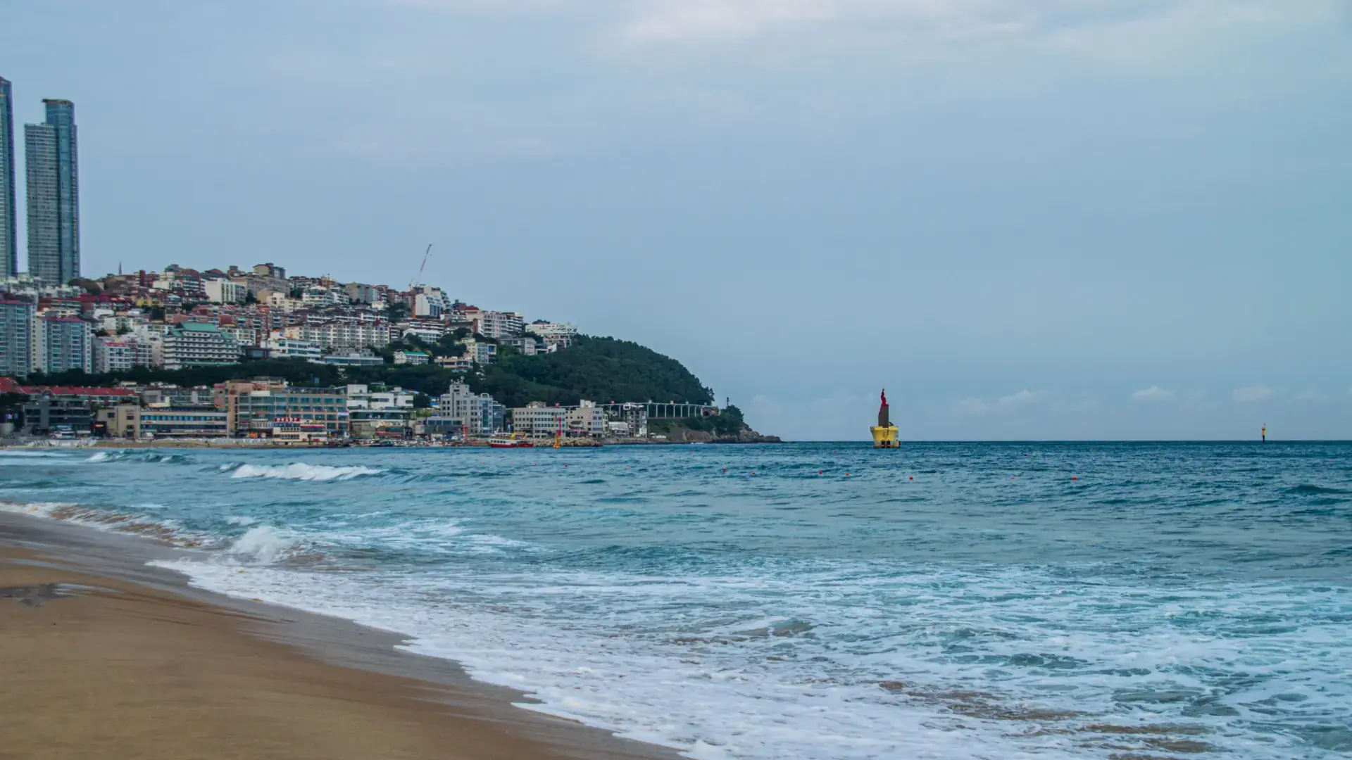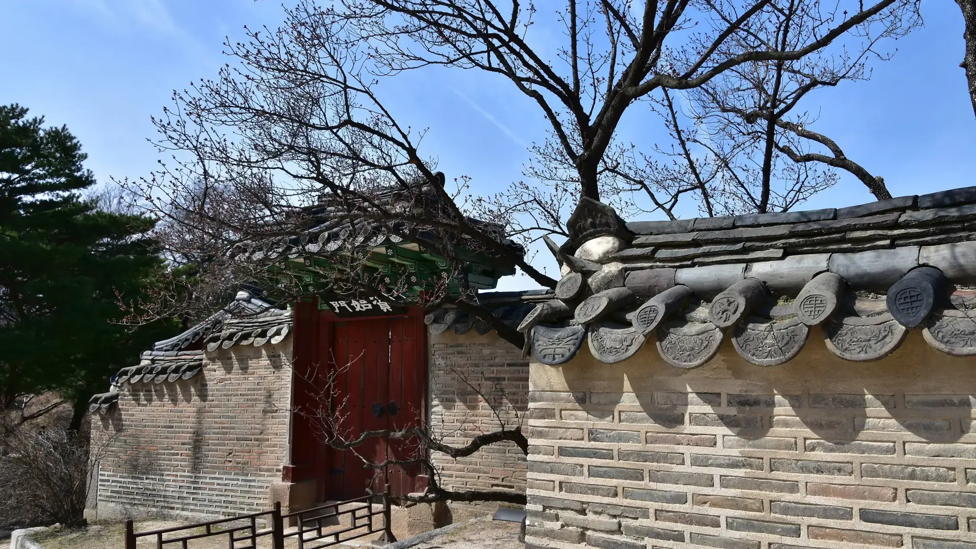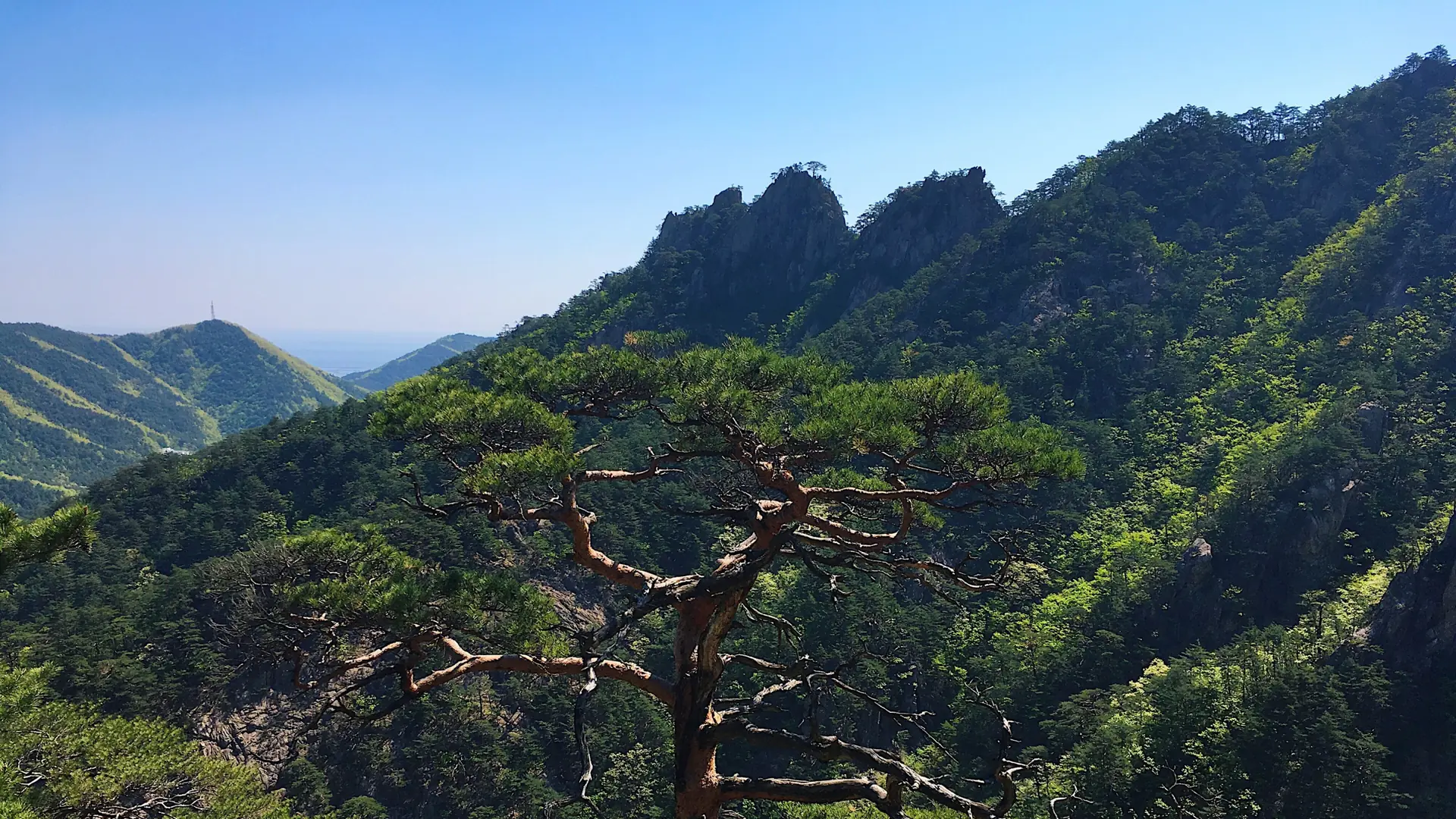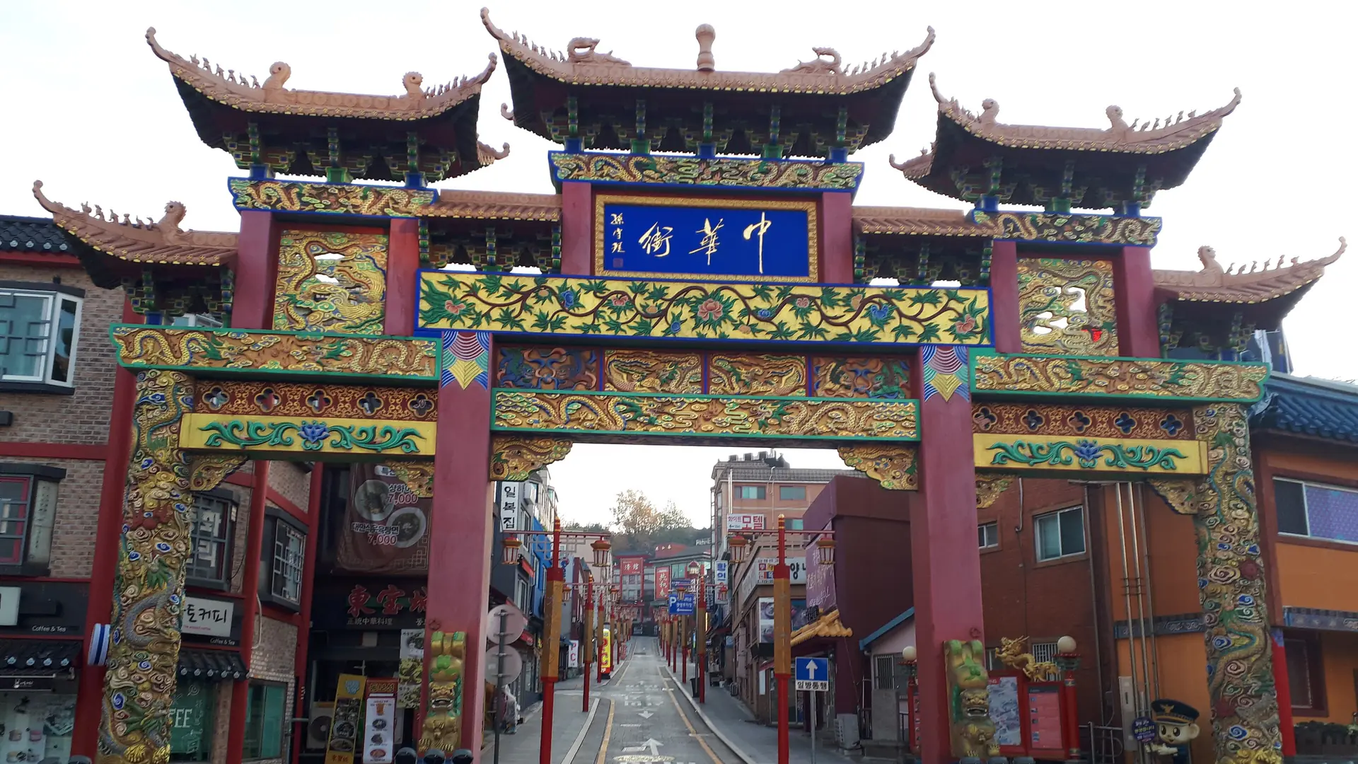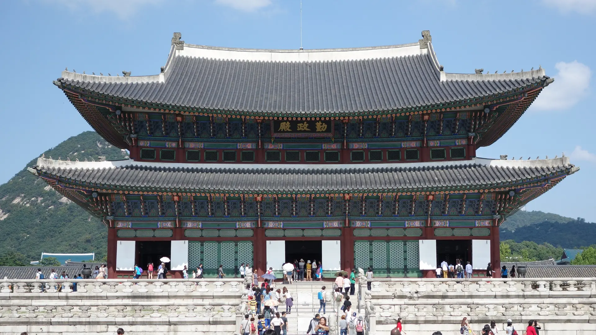
Three distinct bases
Dividing the island into three bases eliminates long daily commutes and lets you see the distinct character of the north, east, and south coasts.
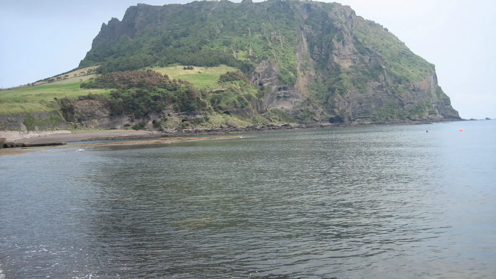
Five days covering Jeju's three distinct zones: north-coast lava tubes, sunrise over the eastern tuff cone, and waterfalls on the subtropical south coast.
Jeju Island sits 85 kilometres south of the Korean mainland, a shield volcano rising from the Korea Strait. It is South Korea's largest island and its only special self-governing province — a designation that reflects both its unique geology and its outsized role in domestic tourism. The island receives around 15 million visitors a year, drawn by a landscape that compresses an improbable range of scenery into 1,846 square kilometres: a 1,950-metre volcanic peak, lava-tube cave systems, crater lakes, black-sand and white-sand beaches, subtropical coastal cliffs, and a patchwork of green tea and tangerine orchards that covers the lower slopes.
Five days is a genuinely useful window for a first visit. It is long enough to reach Seongsan Ilchulbong on the east coast at sunrise, attempt the Hallasan summit trail if you have secured a reservation, walk sections of the Jeju Olle coastal path, and still have a relaxed afternoon in the west without making the trip feel like a checklist sprint. Experienced travellers often cite ten days as the threshold between seeing highlights and understanding the place, but five gives you a coherent and geographically logical experience.
This route divides the island into three natural bases: Jeju City in the north for the first two nights, Seongsan on the east cape for the third, and Seogwipo on the south coast for the fourth. Each base unlocks a different face of the island rather than requiring you to drive the same roads twice. You arrive and depart through Jeju International Airport on the north side of the island, so the final transfer back to the airport is short regardless of where you spent your last night.
Dividing the island into three bases eliminates long daily commutes and lets you see the distinct character of the north, east, and south coasts.
Staying right by the eastern cape means you can reach the crater rim for sunrise before the day-trippers arrive.
Seogwipo gives you the best southern-coast access to Hallasan National Park for a summit attempt.
Best for
Think twice if
Visitors trying to squeeze the entire island into a weekend
StartBooker answer
Five days lets you cover Jeju's three distinct zones without rushing. Base yourself in Jeju City for two nights to explore the north and west sides, then move east to Seongsan for the UNESCO Sunrise Peak, and south to Seogwipo for the waterfalls and a Hallasan hiking day. Rent a car if you hold an International Driving Permit; otherwise Kakao T taxis cover the gaps that buses miss. Spring and early autumn offer the most comfortable hiking weather and the clearest summit views. Keep a day beside Hallasan because summit cloud and trail conditions can change the plan. Avoid one hotel for the entire circuit unless repeated cross-island drives suit you; the three-base sequence protects early starts and cuts backtracking.
Jeju is small enough that you could, in theory, base yourself in one hotel and drive everywhere each day. In practice the distances between the north, east and south coasts mean that three shorter stays save significant daily travel time and let each day feel locally grounded. All three areas have accommodation at multiple price points, though Seongsan supply is limited and fills quickly during spring and autumn.
3 stops · swipe
 1
Jeju City is the island's administrative hub and the main transport gateway, home to the international airport and the intercity express bus terminal. Staying here for the first two nights gives you practical access to the west coast (Hyeopjae Beach, Osulloc Tea Fields, Yongmeori Coast) and the lava-tube north (Manjanggul Cave, Gimnyeong Maze Park) without long daily drives. Dongmun Traditional Market, open from early morning, is the best single place on the island to eat local specialties — raw seafood, Jeju black pork, hallabong citrus, and bingsu shaved ice — at market prices rather than tourist-street markups. The city itself is more functional than scenic, but its central position in the north makes it the obvious anchor for a five-day visit.
Read the Jeju City guide →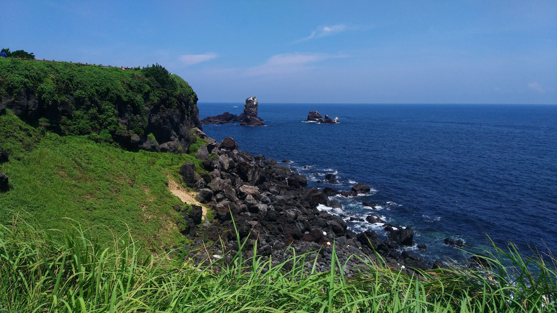 2
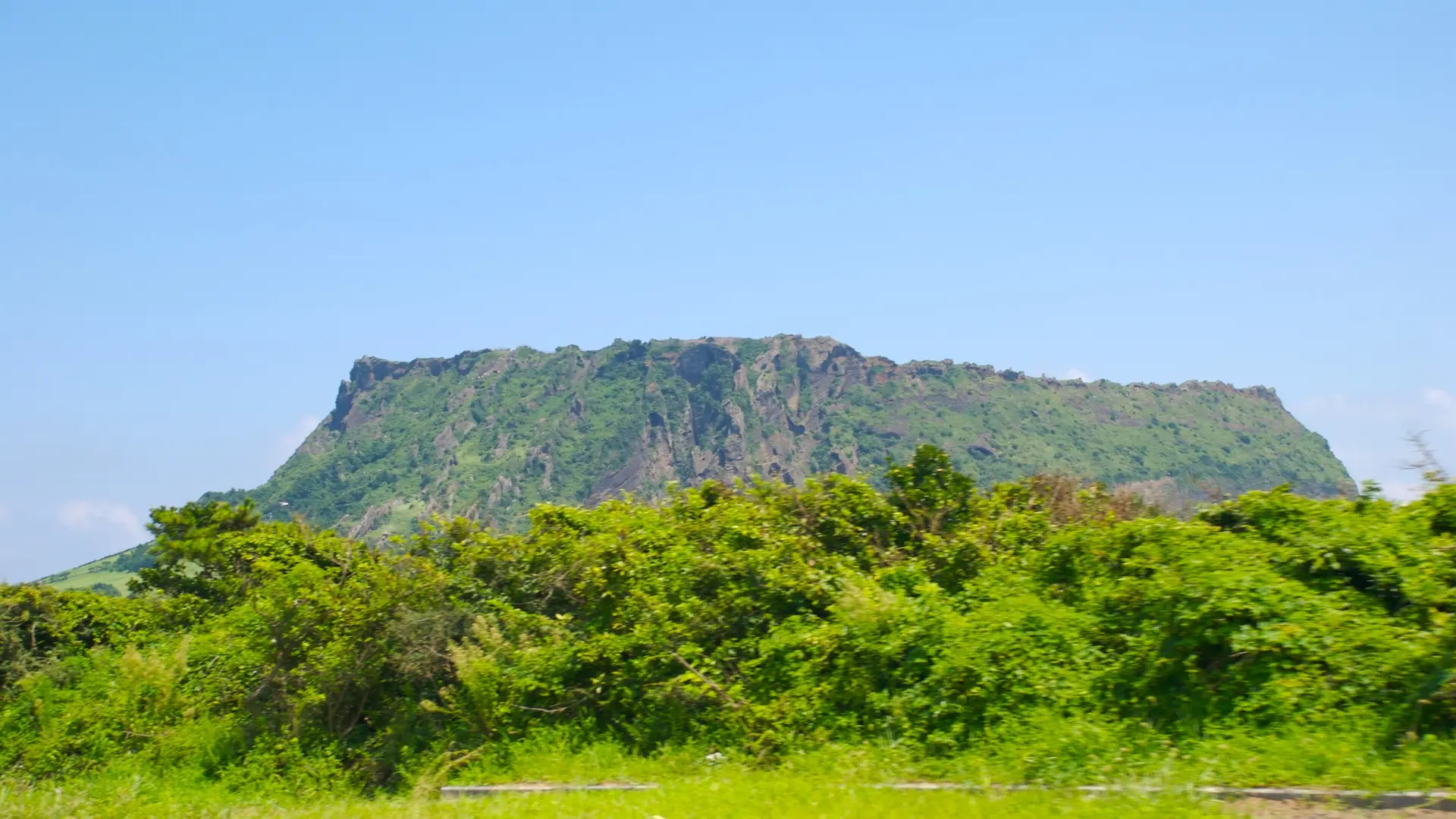
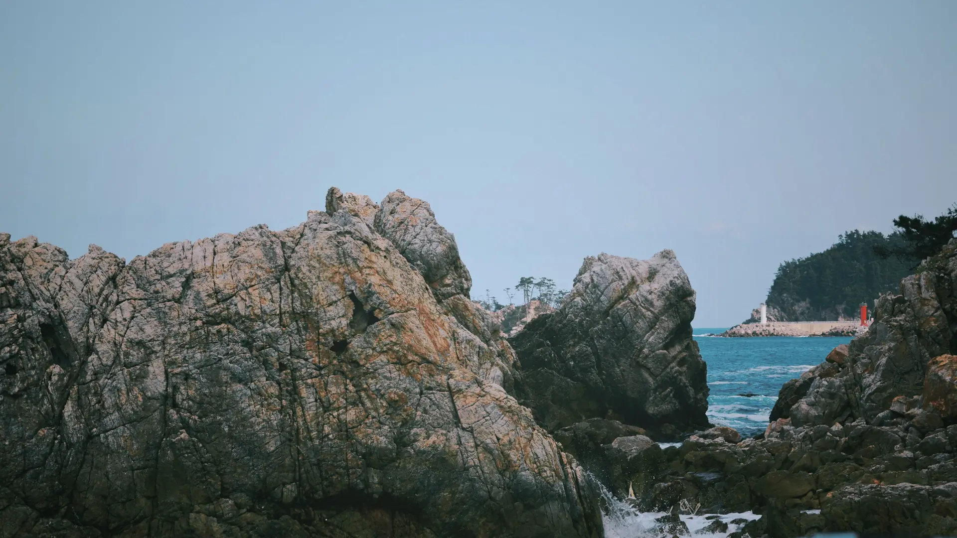
The village of Seongsan sits at the base of Ilchulbong, the tuff cone that defines Jeju's east cape. Staying here for one night lets you reach the peak entrance before the first tour buses arrive from Jeju City — important because the site becomes shoulder-to-shoulder on weekend mornings from around 8am onward. The Seopjikoji headland, fifteen minutes south by car, offers a quiet coastal walk with a panoramic view back to Ilchulbong and across the water to Udo Island. Udo itself — a flat, car-free island a 15-minute ferry from Seongsan Port — makes a good half-day addition if you extend the trip to six or seven days. Accommodation options in Seongsan are limited; book several weeks ahead during spring canola season and the autumn peak.
 3
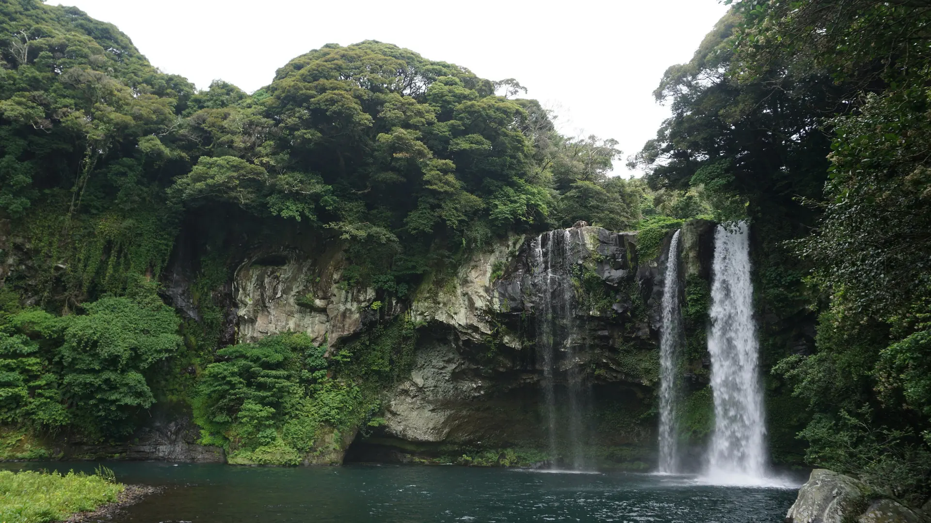
Seogwipo is Jeju's second city, set on the south coast where a sheltered position and subtropical climate produce the island's lushest vegetation. Three of the island's most dramatic natural features are within walking distance of the town centre: Cheonjiyeon Waterfall, which drops through a narrow gorge thick with subtropical plants; Jeongbang Waterfall, which falls 23 metres directly onto rock shelves at the sea's edge; and Oedolgae Rock, a 20-metre volcanic pillar that stands offshore from the coastal path. Seogwipo is also the most practical base for Hallasan's southern trailhead and for the west-coast attractions (Osulloc, Yongmeori, Hyeopjae Beach) on a Day 5 without a summit reservation. The city has a noticeably quieter atmosphere than Jeju City and a restaurant scene that punches well above its size.
The schedule below assumes a morning flight from Seoul Gimpo and treats Day 5 as a half-day ending at Jeju airport. If you have a Hallasan summit reservation, confirm the trail entry cutoff time on the official park website before visiting — it varies by season and trail.
Fly from Seoul Gimpo to Jeju International Airport; the flight takes roughly an hour. The Gimpo–Jeju corridor is one of the world's busiest domestic air routes, with flights departing as frequently as every 15–20 minutes at peak hours and budget fares available from around ₩30,000 booked several weeks out. Do not confuse Gimpo with Incheon: if you are arriving in Korea on an international flight into Incheon, you need to clear customs, transfer to a domestic terminal, and catch a separate Incheon–Jeju connection. Confirm your terminal before landing. Collect your rental car if you hold an International Driving Permit alongside your home-country licence — rental companies are at the arrivals exit and the lot is five minutes on foot. Without an IDP, download the Kakao T and Naver Map apps before you land; Naver Map is the reliable transit planner on Jeju (Google Maps is inaccurate for Korean public transit and walking routes). After dropping luggage, walk out to Yongduam — Dragon Head Rock — on the north shore, ten minutes by taxi from the airport. The volcanic basalt stack is a modest attraction in itself but places you at the edge of the open Korea Strait immediately, giving a first physical sense of the island's geological character. In the late afternoon, work your way to Dongmun Traditional Market in central Jeju City. The market is liveliest from 5pm: haenyeo divers sell fresh seafood at outdoor stalls, covered rows are stacked with hallabong tangerines and dried fish, and the street food strip at the south end has vendors cooking hotteok and fish-cake skewers. Dinner here — a heuk-dwaeji (Jeju black pork) barbecue at one of the restaurants near the market's edge — sets the culinary tone for the trip. Jeju black pork is raised on the island's volcanic terrain and has a richer, slightly gamier flavour than standard Korean pork; it is eaten grilled, sliced, and wrapped in perilla leaf with fermented paste.
Base: Jeju City
Today is a loop from Jeju City covering the north-central and western parts of the island before you pack for tomorrow's move east. Start with Manjanggul Cave, a UNESCO World Heritage lava tube on the north coast roughly 30 minutes east of the city centre. The accessible section runs about a kilometre into the earth before reaching the world's largest lava column still attached to its floor — a 7.6-metre basalt tower formed when the surrounding lava drained away and left the column behind. Lighting inside the cave is minimal and the temperature drops to around 11°C year-round regardless of outside conditions, so bring a light layer. The cave reopened to visitors in 2026 after maintenance work. From Manjanggul, drive west along the north coast to Hallim Park, a landscaped complex built around two more lava caves — Hyeopjae and Ssangyong — with sub-tropical gardens and Hyeopjae Beach immediately adjacent. The cave experience here is shorter and better lit than Manjanggul, which makes it more accessible for young children or for visitors who found Manjanggul's darkness uncomfortable. The beach itself is worth noting: the turquoise water over white sand on this stretch of the west coast reads as improbably clear for a Korean island, and it is significantly less crowded than the better-known east-coast beaches. Spend the afternoon further south on the west side at the Osulloc Tea Museum. The museum sits at the edge of large terraced tea fields that change character through the year — vivid green in summer, lighter and more textured in spring when new growth appears. The Innisfree Jeju House adjacent to it sells skincare products and a small tea-based menu. The Yongmeori Coast, a short drive south from Osulloc, is a layered sandstone platform eroded by the sea into channels, ridges and overhangs — a 30-minute walk with architectural geometry that feels different from Jeju's more typical basalt scenery. Return to Jeju City for a second night.
Base: Jeju City
Check out of your Jeju City accommodation and drive east to Seongsan — roughly 75 kilometres along the north coast highway, about one hour in light traffic. There is no urgency today because the landmark experience at Seongsan Ilchulbong is more rewarding in low morning or late-afternoon light than at midday, when the coastal light flattens and tour groups fill the summit path. Arrive in Seongsan by noon. Check in, then walk south along the coast road to Seopjikoji, a headland about three kilometres from the Ilchulbong ticketing gate. The trail crosses open fields of wildflowers (particularly striking in spring) to reach a lighthouse perched above a rock-shelf coast. From there, the view back north to the tuff cone is unobstructed and wide-angle — a better vantage for understanding Ilchulbong's geography than the view from its own summit, which looks down into the crater and out to sea but cannot show the cone as a whole. Across the water to the northeast you can see Udo Island on a clear day. Buy your Seongsan Ilchulbong ticket (₩5,000 adults) in the late afternoon. The wide, well-maintained stairway to the 182-metre crater rim takes roughly 20-30 minutes at a moderate pace. The caldera bowl holds a tidal flat that floods and drains with the tide; from the rim you look down into the grassy crater and out over the east cape and the surrounding sea. The site closes on the first Monday of every month, and the ticketing window closes one hour before the official closing time, so check the current seasonal schedule at visitjeju.net before going. Sunrise is the famous time to be here — tomorrow morning.
Base: Seongsan
Set your alarm. Seongsan Ilchulbong earned its name — Sunrise Peak — because the view from the crater rim at dawn is among the most photographed scenes in South Korea: a column of light emerging behind the open sea, with the crater floor and the east cape below. Arrive at the gate 40–50 minutes before official sunrise time; on spring and autumn weekends the path up becomes congested by 6:30am. Tickets from the previous evening remain valid. Descend and have breakfast in the village — most cafes open by 7:30am for the sunrise crowd. Pack up and drive south and west to Seogwipo, approximately 50 kilometres along the south coast road. The direct route takes 50–60 minutes; the inland road through tangerine orchards adds 15 minutes but passes quieter village roads with fruit stalls that sell hallabong and other citrus directly off the tree in season. In Seogwipo, walk the south-coast trail linking the three central natural features before the afternoon light fades. Cheonjiyeon Waterfall is a short path from the city centre through a subtropical gorge thick with tree ferns and subtropical plants; it drops into a pool where the water is calm enough to reflect the surrounding greenery. Jeongbang Waterfall, 1.5 kilometres east along the coast path, falls 23 metres directly onto rock shelves at the sea's edge — Korean tourism authorities describe it as the only waterfall in Asia that falls directly into the sea, a claim that draws some debate but captures what makes it visually distinct. Oedolgae, another kilometre along, is a 20-metre volcanic rock column that rises from the surf offshore and frames cleanly against the cliffs behind. All three are linked by a coastal footpath that takes about 90 minutes to walk end to end, including time to pause at each site. Have dinner in Seogwipo. The city has a concentration of restaurants serving raw fish (hoe), abalone porridge (jeonbok-juk), grilled mackerel, and Korean home cooking at honest prices. The nightly fish market at Seogwipo Maeil Olle Market is worth a look even if you eat elsewhere.
Base: Seogwipo
Day 5 divides into two completely different experiences depending on whether you secured a Hallasan summit reservation before leaving home. The two trails that reach the summit crater — Seongpanak (starting on the island's east side, 9.6 km one way) and Gwaneumsa (northeast, 8.7 km one way) — require advance online reservation through visithalla.jeju.go.kr. Slots open on the 1st business day of each month at 9AM Korean Standard Time for the following month and fill within hours during spring and autumn. Reservation is free but requires email verification; carry your original passport on the day as it is checked at the trailhead gate. The round trip to the summit crater lake, Baengnokdam, takes 8–10 hours. If you have a Seongpanak reservation, leave Seogwipo by 6AM to reach the trailhead in time for the mandatory entry cutoff. The summit sits at 1,950 metres and the trail passes through dwarf beech forest, rocky switchbacks, and open crater moorland; it is one of the more physically demanding but rewarding day hikes in Korea. Non-summit trails such as Eorimok and Yeongsil do not require a reservation and deliver strong mountain scenery without the full commitment. Without a reservation, drive west from Seogwipo along the south coast instead. The Jusangjeolli Cliffs, 20 minutes west of the city centre, present a formation of hexagonal basalt columns eroded at the base by the surf. The visual similarity to Giant's Causeway in Ireland is striking; the columns here are set into a curved coastal platform that concentrates the wave action. Continue northwest to Hyeopjae Beach on the west coast — shallow turquoise water over white sand with a clarity that consistently surprises visitors expecting an East Asian sea — and then cut back through Osulloc for a final walk through the tea fields before heading north to Jeju City airport. Both options converge on the north coast in the afternoon. Return the rental car at the airport lot and allow 90 minutes from the south coast to account for refuelling and the return queue during peak periods.
Base: Seogwipo
Jeju has no train network. Movement between the three bases and between attractions is by rental car, taxi, or public bus. A car is the most practical option for this route; without one, factor in extra journey time and plan around infrequent rural bus schedules.
2 transfers
Jeju City Seongsan
Approximately 75 km east along the north coast highway (Route 12 / Haean-ro). Traffic is generally light on weekdays; allow an extra 20–30 minutes on weekends and Korean public holidays. By public bus, Route 701 runs from Jeju Intercity Bus Terminal through the north coast to Seongsan; journey time is approximately 90–100 minutes. Taxis are available but the long-distance fare to Seongsan can exceed ₩60,000 — comparable to a car rental for the day.
Seongsan Seogwipo
Approximately 50 km via the south coast road (Ilju-ro East). The direct coastal route is the fastest; the inland route through tangerine orchards adds 15 minutes but passes quieter roads. By public bus, Route 701 connects Seongsan and Seogwipo directly; allow 60–75 minutes including the stop at Pyoseon. For Day 5 departure from Seogwipo north to Jeju airport, the drive is about 40–50 minutes via the centre of the island (Route 1131 /516-ro) or 55–65 minutes via the west coast highway.
All fares and journey lengths are approximate estimates for daytime travel.
Jeju sits in the middle of South Korea's accommodation range. Prices rise sharply in July–August (domestic peak season) and around major Korean public holidays (Chuseok, Lunar New Year, Children's Day). Spring and early autumn offer the best balance of weather, availability, and pricing.
Booking tips
Most visitors base the majority of their nights in Jeju City for its airport access and breadth of accommodation. Seongsan and Seogwipo both have good options at a smaller scale.
The map shows the three bases on this five-day route: Jeju City in the north, Seongsan on the east cape, and Seogwipo on the south coast. Each marker is positioned at the base's city centre.
Jeju Island
A rental car makes this route significantly more practical. Jeju's public bus network covers the main towns but not the roadside viewpoints and coastal trail access points that make the island distinctive. To rent a car you need a valid International Driving Permit alongside your home-country licence; South Korean rental companies require the physical IDP and will not accept digital copies. Without a car, Kakao T taxis bridge the gaps between bus routes, though long-distance taxi fares — Jeju City to Seongsan, for example — can exceed ₩60,000 one way, making a car rental cost-effective for a five-day stay.
Summit reservations for the Seongpanak and Gwaneumsa trails open on the 1st business day of each month at 9AM Korean Standard Time for the following month, through visithalla.jeju.go.kr. Use the email verification option if you do not have a Korean phone number. Bring your original passport or national ID on the day — the QR code at the trailhead is checked against it. Missing your slot results in a ban for subsequent months. If the summit is booked out, the non-summit trails — Eorimok, Yeongsil, Donnaeko, and Eoseungsaengak — do not require reservation and reach impressive highland terrain with views across the island without going all the way to the 1,950-metre crater.
Arrive at the ticketing gate 40–50 minutes before official sunrise time, which changes daily and seasonally. On spring and autumn weekends, the path up from the gate becomes congested by 6:30am. Tickets purchased the previous evening remain valid for an early-morning entry. Check the official seasonal opening hours at visitjeju.net before your visit, as summer hours open as early as 4:30am while winter hours start at 6:00am. The site is closed on the first Monday of each month.
Yes, and that is the recommended approach. The three sites are connected by a designated coastal footpath within Seogwipo city. Cheonjiyeon is west of the city centre; Jeongbang is about 1.5 km east of Cheonjiyeon; Oedolgae is a further kilometre east along the coastal path. Walking end to end with stops at each site takes approximately 90 minutes. The path is paved and well-signed. A café stop or late-afternoon ice cream near Oedolgae extends the walk into a comfortable two-hour late-afternoon outing.
Both are UNESCO World Heritage lava-tube systems, but they offer different experiences. Manjanggul is a single, largely unlit natural tube — about one kilometre of accessible passage ending at the world's largest basalt lava column still attached to its floor. It is raw and geological, the temperature drops to around 11°C year-round, and minimal lighting means you use a headlamp or the provided LED wristbands. Hallim Park's two caves (Hyeopjae and Ssangyong) are shorter, better lit, and landscaped into a garden complex alongside a beach. Manjanggul suits geology enthusiasts willing to dress warmly; Hallim is more suitable for families or as a companion to an afternoon on the adjacent beach.
Spring (March–May) brings yellow canola fields and cherry blossom to the lower slopes, clear hiking conditions on Hallasan, and mild temperatures in the 12–20°C range. Autumn (September–November) delivers the clearest skies of the year, lower humidity, and red-gold foliage on Hallasan's upper dwarf-beech forest from October. Summer (July–August) is the domestic peak: warm, sometimes hot, with a typhoon risk and the highest hotel rates and the largest crowds of the year. Winter is quietest and coldest; Hallasan summit trails may ice over, requiring crampons, and can close on short notice. Spring and autumn are the recommended seasons for this itinerary.
Reviewed by StartBooker
Reviewed 2026-09-19
Updated
Methodology: Route verified against official Korea Tourism Organization and Jeju provincial tourism sources. Seongsan Ilchulbong entry fees and seasonal hours confirmed via KTO and visitjeju.net. Hallasan summit reservation system, trail rules, and monthly booking window confirmed via the official Hallasan National Park reservation portal. Lava-tube information cross-checked via KTO Manjanggul pages. Transport options and flight route information verified against Korea Airports Corporation. Two independent travel editorial sources used for traveller-question discovery and logistics cross-checking. Coordinates sourced from GeoNames.
11 References reviewed
Some photos provided by Pexels.
Find another destination and compare its areas and accommodation.
Compare routes by length, stops and transport.